
Мейн, САЩ
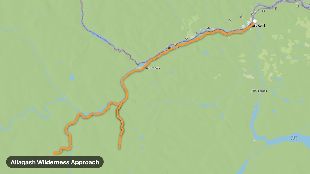
Allagash Wilderness Approach
Remote northern Maine approach to Allagash Wilderness Waterway.
Fort Kent → Allagash
- Дистанция
- 56 мили
- Ниво
- Среден
- Тип
- Планински
- Сезон
- юни - септември
Акценти
- St. John River
- Allagash River
- North Maine Woods
Must ride
★ 8.2/ 10
Рискове
Гориво
Храна
Карай го с RideCall
Намери маршрута в приложението, покани групата си и запиши карането.
Още маршрути в Мейн
Всички маршрути в Мейн →Acadia National Park Loop Road
Granite coast and Cadillac Mountain on Mount Desert Island.
16 мили · Лесен · Bar Harbor → Seal Harbor
Katahdin Woods and Waters Loop
Remote loop near Maine's highest peak and new national monument.
69 мили · Среден · Millinocket → Patten
Bold Coast Scenic Byway
Dramatic cliffs and easternmost point of the continental US.
69 мили · Среден · Milbridge → Lubec
Rangeley Lakes Scenic Byway
Western Maine lake district and Appalachian Trail country.
27 мили · Лесен · Rangeley → Oquossoc
Moosehead Lake Loop
Maine's largest lake surrounded by North Woods wilderness.
39 мили · Лесен · Greenville → Rockwood
Camden Hills Coastal Route
Penobscot Bay sailing villages and Mount Battie views.
19 мили · Лесен · Camden → Belfast