
Arkansas, United States
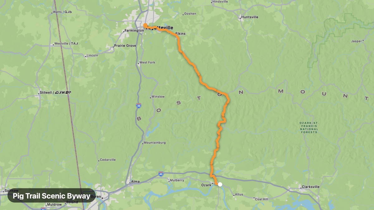
Pig Trail Scenic Byway
Twisting Ozark mountain road beloved by Arkansas riders.
Ozark → Fayetteville
- Distance
- 62 mi
- Level
- Medium
- Type
- Mountain
- Season
- April - October
Highlights
- Ozark National Forest
- Boston Mountains
- Hairpin turns
Must ride
★ 8.7/ 10
Risks
Fuel stops
Food stops
Ride it with RideCall
Find this route in the app, invite your group and track the ride.
More routes in Arkansas
All routes in Arkansas →Talimena National Scenic Byway (AR)
Ridge-top ride with panoramic Ouachita Mountain vistas.
70 mi · Medium · Mena → Talihina
Buffalo National River Scenic
Ozark valley roads along America's first national river.
85 mi · Easy · Jasper → Marshall
Mount Magazine Scenic Drive
Climb to Arkansas's highest peak with hang-gliding launch views.
19 mi · Medium · Paris → Signal Hill
Crowley's Ridge Parkway
Unique ridge-top route above the Mississippi Delta flatlands.
127 mi · Easy · Paragould → Helena
Hot Springs Mountain Loop
Historic spa town loop through Ouachita foothills.
9 mi · Easy · Hot Springs → Lake Hamilton
Sylamore Scenic Byway
Ozark backroads to Blanchard Springs Caverns.
30 mi · Medium · Mountain View → Blanchard Springs