
California, United States
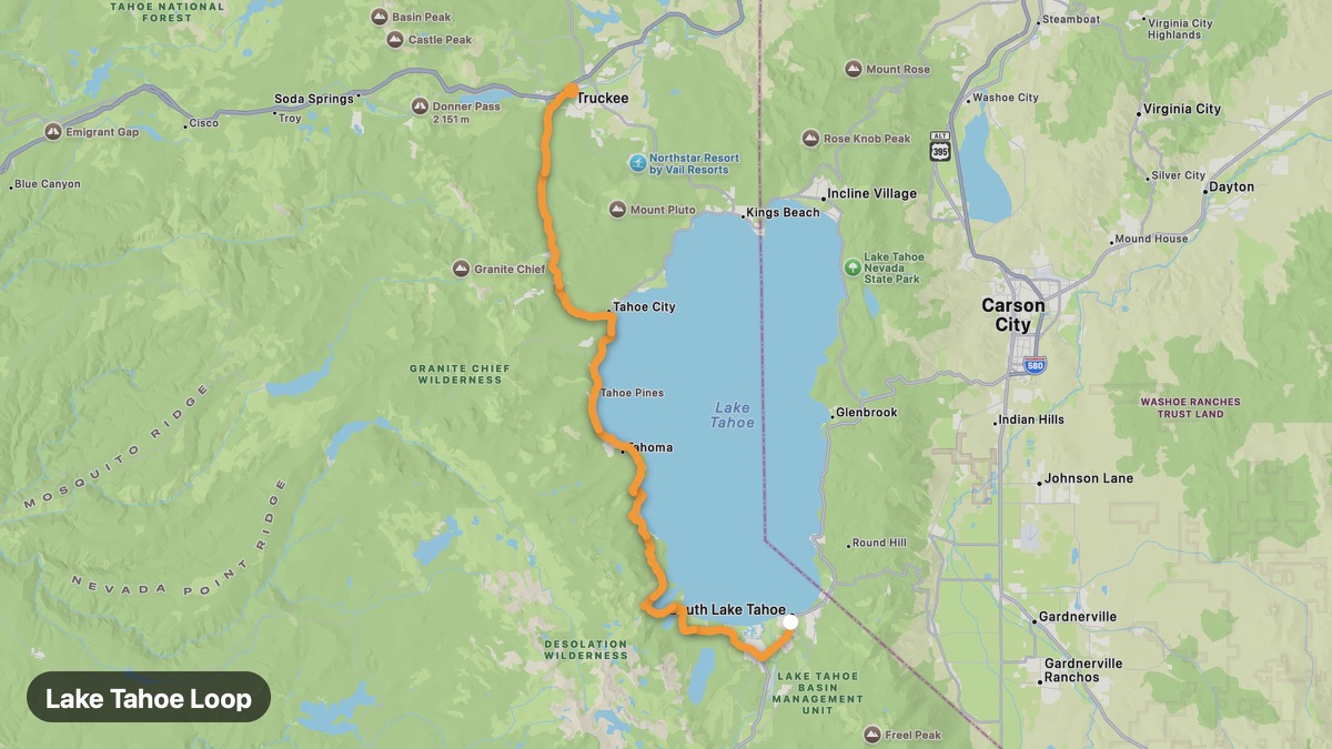
Lake Tahoe Loop
Crystal-clear alpine lake circumnavigation on mountain highways.
South Lake Tahoe → Truckee
- Distance
- 44 mi
- Level
- Easy
- Type
- Scenic
- Season
- June - October
Highlights
- Emerald Bay
- Sand Harbor
- Sierra ridgelines
Must ride
★ 8.2/ 10
Risks
Fuel stops
Food stops
Ride it with RideCall
Find this route in the app, invite your group and track the ride.
More routes in California
All routes in California →Joshua Tree Scenic Loop
Desert park roads among iconic Joshua trees and rock formations.
36 mi · Easy · Twentynine Palms → Keys View
Avenue of the Giants
Drive through towering old-growth redwood cathedrals.
28 mi · Easy · Phillipsville → Pepperwood
Napa Valley Silverado Trail
Wine country backroad through vineyards and rolling hills.
27 mi · Easy · Napa → Calistoga
Palms to Pines Scenic Byway
Dramatic elevation climb from Colorado Desert to pine forests.
52 mi · Medium · Palm Desert → Idyllwild
Pacific Coast Highway (Big Sur)
World-famous CA-1 coastal ride with cliffs, bridges, and ocean spray.
94 mi · Medium · Monterey → San Simeon
Angeles Crest Highway
High-altitude Angeles National Forest highway above Los Angeles.
61 mi · Medium · La Cañada Flintridge → Wrightwood