
Connecticut, United States
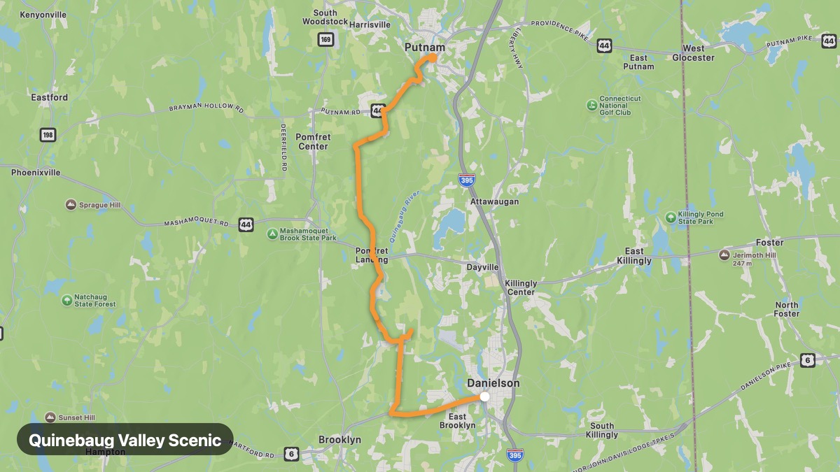
Quinebaug Valley Scenic
Quiet northeast Connecticut backroads through mill towns and forests.
Danielson → Putnam
- Distance
- 15 mi
- Level
- Easy
- Type
- Scenic
- Season
- May - October
Highlights
- Roseland Park
- Quinebaug River
- Low traffic
Must ride
★ 7.6/ 10
Risks
Fuel stops
Food stops
Ride it with RideCall
Find this route in the app, invite your group and track the ride.
More routes in Connecticut
All routes in Connecticut →Connecticut Wine Trail
Rolling countryside loop connecting Connecticut vineyards and farms.
96 mi · Easy · North Stonington → Litchfield
Housatonic Valley Route
Scenic valley following the Housatonic River through western CT.
53 mi · Easy · Derby → Cornwall
Connecticut Route 169
National Scenic Byway through historic New England villages.
34 mi · Easy · Lisbon → Woodstock
Merritt Parkway
Art Deco bridges and landscaped parkway through Fairfield County.
32 mi · Easy · Greenwich → Stratford
Litchfield Hills Loop
Rolling hills and covered bridges in northwest Connecticut.
31 mi · Easy · Litchfield → Kent
Connecticut River Scenic Route
Follow the Connecticut River through colonial river towns.
43 mi · Easy · Old Saybrook → Hartford