
Indiana, United States
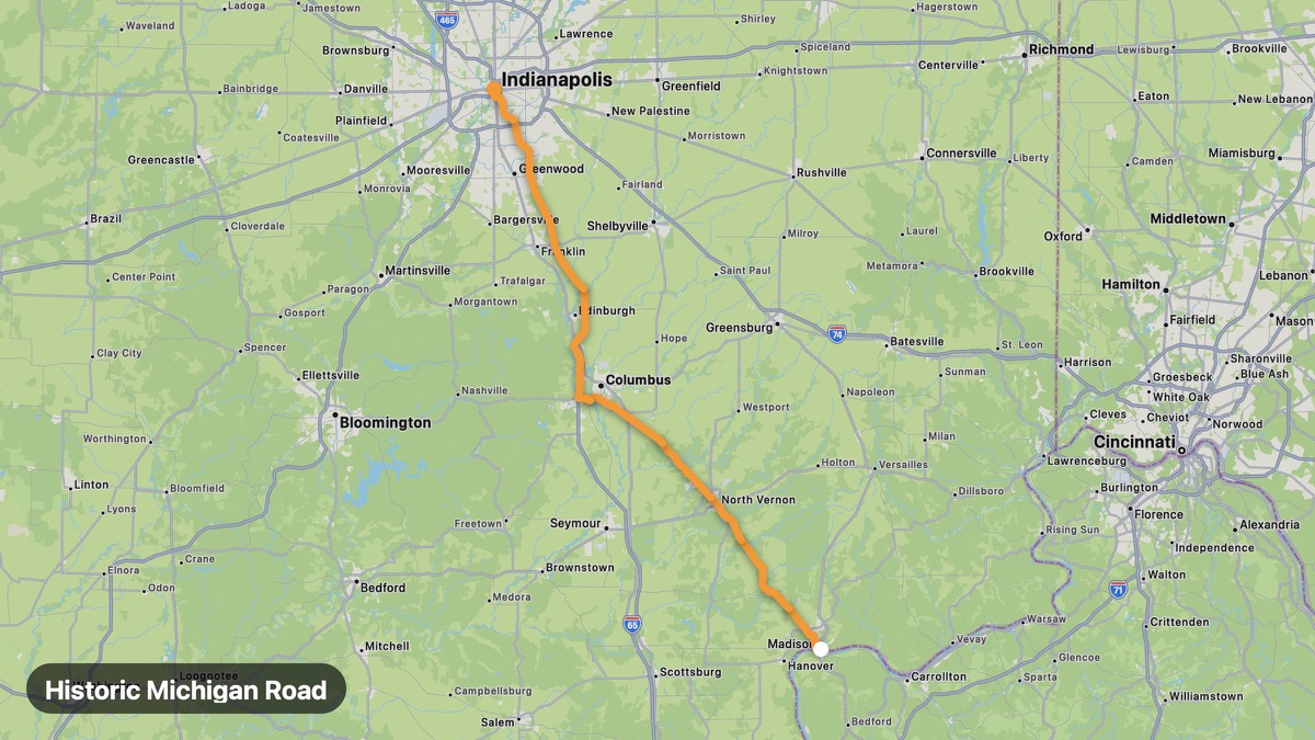
Historic Michigan Road
Indiana's first commissioned road connecting Ohio River to Lake Michigan.
Madison → Indianapolis
- Distance
- 92 mi
- Level
- Easy
- Type
- Scenic
- Season
- April - November
Highlights
- Historic markers
- Old toll houses
- Indianapolis approach
Must ride
★ 8.1/ 10
Risks
Fuel stops
Food stops
Ride it with RideCall
Find this route in the app, invite your group and track the ride.
More routes in Indiana
All routes in Indiana →Brown County Scenic Loop
Indiana's Little Smokies with art colony Nashville and rolling hills.
34 mi · Easy · Nashville → Gnaw Bone
Ohio River Scenic Byway (Indiana)
Historic Ohio River towns and bluffs in southern Indiana.
190 mi · Easy · Madison → Mount Vernon
Indiana Dunes Lake Michigan Route
Dunes and lakefront along Indiana's short Lake Michigan coast.
31 mi · Easy · Gary → Michigan City
Parke County Covered Bridge Tour
Covered Bridge Capital of the World through Parke County.
14 mi · Easy · Rockville → Mansfield
Hoosier National Forest Loop
Southern Indiana forest hills and resort town of French Lick.
34 mi · Medium · Bedford → French Lick
Amish Country Indiana
Amish farmland and buggy country in northern Indiana.
32 mi · Easy · Shipshewana → Nappanee