
Louisiana, United States
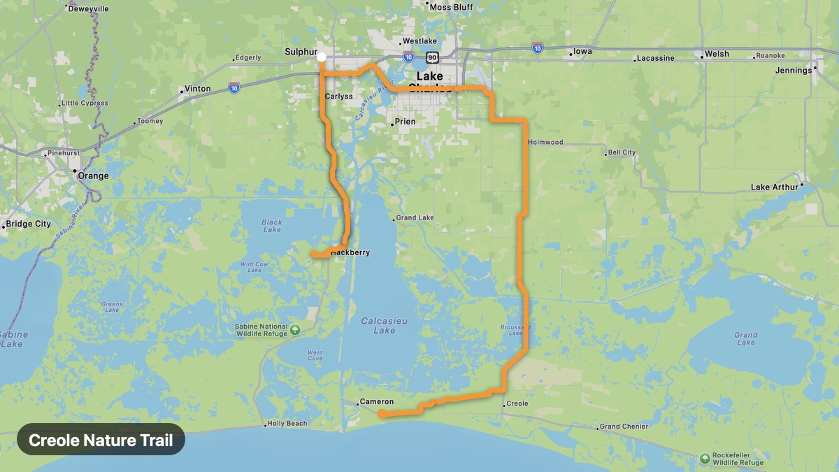
Creole Nature Trail
All-American Road through Louisiana marshes and Gulf beaches.
Sulphur → Cameron
- Distance
- 54 mi
- Level
- Easy
- Type
- Coastal
- Season
- October - May
Highlights
- Sabine NWR
- Gulf beaches
- Marsh wildlife
Must ride
★ 8.3/ 10
Risks
Fuel stops
Food stops
Ride it with RideCall
Find this route in the app, invite your group and track the ride.
More routes in Louisiana
All routes in Louisiana →Atchafalaya Basin Loop
America's largest river swamp basin on elevated highways.
86 mi · Easy · Lafayette → Morgan City
Cajun Country Loop
Zydeco, crawfish, and rice fields of Acadiana.
41 mi · Easy · Lafayette → Abbeville
Lake Pontchartrain Causeway Route
Cross the world's longest continuous bridge over water.
35 mi · Easy · New Orleans → Mandeville
Kisatchie Hills Scenic Byway
Louisiana's only national forest with red dirt hills and longleaf pine.
70 mi · Medium · Natchitoches → Provencal
Toledo Bend Reservoir Loop
Massive reservoir on the Texas border with piney woods.
48 mi · Easy · Many → Logansport
River Road Plantations
Historic antebellum plantations along the Mississippi.
64 mi · Easy · Baton Rouge → Darrow