
Massachusetts, United States
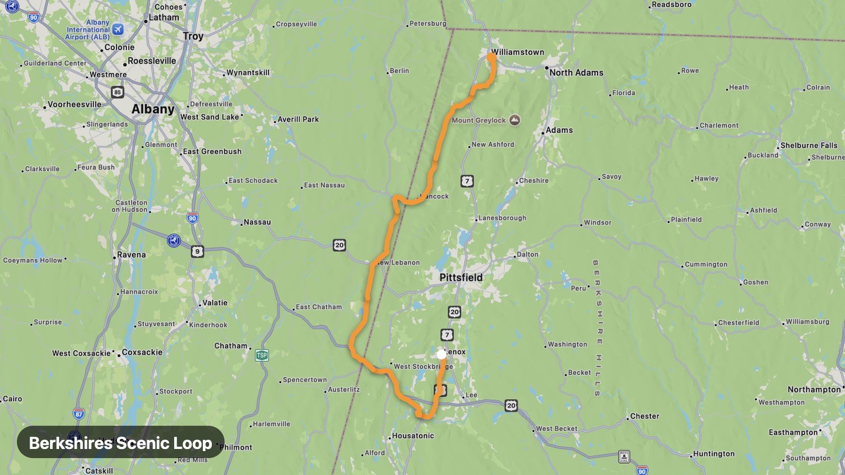
Berkshires Scenic Loop
Cultural Berkshires with Tanglewood and mountain vistas.
Lenox → Williamstown
- Distance
- 41 mi
- Level
- Easy
- Type
- Mountain
- Season
- May - October
Highlights
- Mount Greylock
- Tanglewood
- Stockbridge Main Street
Must ride
★ 8.0/ 10
Risks
Fuel stops
Food stops
Ride it with RideCall
Find this route in the app, invite your group and track the ride.
More routes in Massachusetts
All routes in Massachusetts →Kancamagus Highway Approach (MA)
Western Massachusetts approach to White Mountain passes.
29 mi · Easy · Charlemont → Florida MA
Essex Coastal Scenic Byway
North Shore fishing villages and rocky Atlantic coast.
30 mi · Easy · Lynn → Gloucester
Mount Greylock Summit Drive
Highest point in Massachusetts with five-state views.
15 mi · Medium · Adams → Mount Greylock Summit
Connecticut River Byway (Massachusetts)
Pioneer Valley farmland and historic Deerfield village.
36 mi · Easy · Springfield → Deerfield
Battle Road Scenic Drive
Revolutionary War history through Minute Man National Park.
8 mi · Easy · Concord → Lexington
Quabbin Reservoir Loop
Massive reservoir and wilderness in central Massachusetts.
24 mi · Easy · Belchertown → New Salem