
Maryland, United States
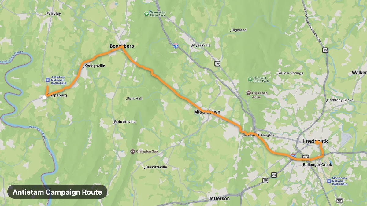
Antietam Campaign Route
Civil War battlefield country in western Maryland.
Sharpsburg → Frederick
- Distance
- 25 mi
- Level
- Easy
- Type
- Scenic
- Season
- April - November
Highlights
- Antietam National Battlefield
- Burnside Bridge
- South Mountain gaps
Must ride
★ 7.7/ 10
Risks
Fuel stops
Food stops
Ride it with RideCall
Find this route in the app, invite your group and track the ride.
More routes in Maryland
All routes in Maryland →Catoctin Mountain Scenic Byway
Blue Ridge foothills and Camp David vicinity near Frederick.
19 mi · Medium · Thurmont → Sabillasville
Deep Creek Lake Loop
Western Maryland mountain lake resort country.
20 mi · Easy · Oakland → McHenry
Chesapeake Country Scenic Byway
Chesapeake Bay sailing towns and seafood villages.
55 mi · Easy · Annapolis → St. Michaels
Assateague Island Coastal Route
Wild horses and Atlantic beaches on Assateague Island.
16 mi · Easy · Ocean City → Assateague
Historic National Road (Maryland)
America's first federally funded highway through Maryland.
142 mi · Easy · Cumberland → Baltimore
Eastern Shore Scenic Route
Flat farmland and bay country on Maryland's Eastern Shore.
94 mi · Easy · Cambridge → Ocean City