
Maine, United States
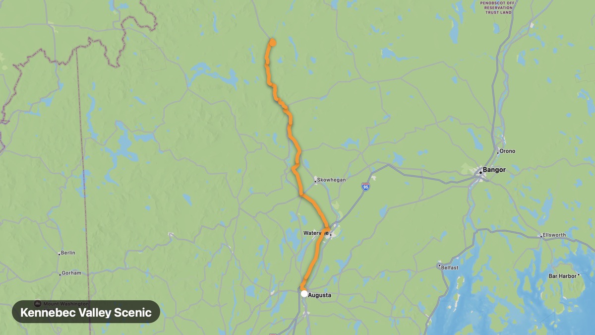
Kennebec Valley Scenic
Follow the Kennebec River to whitewater rafting country.
Augusta → The Forks
- Distance
- 92 mi
- Level
- Easy
- Type
- Gorge
- Season
- June - October
Highlights
- Kennebec River
- Old Canada Road
- The Forks rafting
Must ride
★ 8.2/ 10
Risks
Fuel stops
Food stops
Ride it with RideCall
Find this route in the app, invite your group and track the ride.
More routes in Maine
All routes in Maine →Allagash Wilderness Approach
Remote northern Maine approach to Allagash Wilderness Waterway.
56 mi · Medium · Fort Kent → Allagash
Acadia National Park Loop Road
Granite coast and Cadillac Mountain on Mount Desert Island.
16 mi · Easy · Bar Harbor → Seal Harbor
Katahdin Woods and Waters Loop
Remote loop near Maine's highest peak and new national monument.
69 mi · Medium · Millinocket → Patten
Bold Coast Scenic Byway
Dramatic cliffs and easternmost point of the continental US.
69 mi · Medium · Milbridge → Lubec
Rangeley Lakes Scenic Byway
Western Maine lake district and Appalachian Trail country.
27 mi · Easy · Rangeley → Oquossoc
Moosehead Lake Loop
Maine's largest lake surrounded by North Woods wilderness.
39 mi · Easy · Greenville → Rockwood