
Michigan, United States
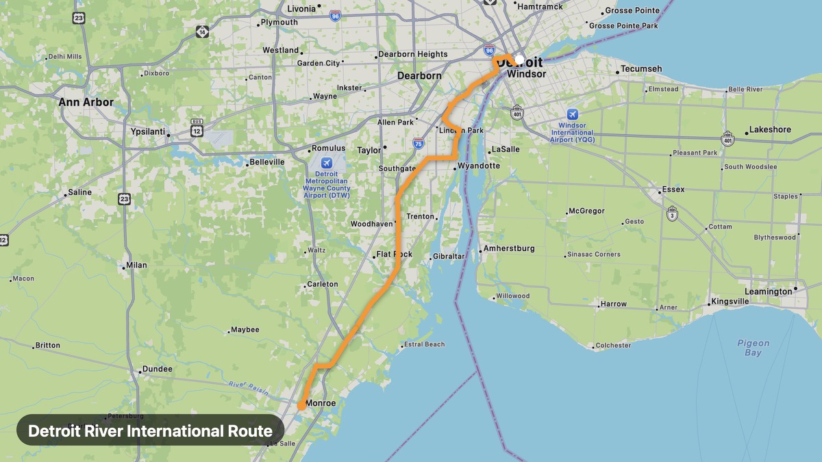
Detroit River International Route
Riverfront ride with Canada views and Great Lakes history.
Detroit → Monroe
- Distance
- 41 mi
- Level
- Easy
- Type
- Coastal
- Season
- May - October
Highlights
- Belle Isle
- Riverwalk
- Lake Erie Metropark
Must ride
★ 7.8/ 10
Risks
Fuel stops
Food stops
Ride it with RideCall
Find this route in the app, invite your group and track the ride.
More routes in Michigan
All routes in Michigan →M-37 West Michigan Ridge
Central Michigan ridge route through Manistee National Forest.
208 mi · Easy · Battle Creek → Traverse City
Mackinac Bridge and Straits Route
Cross the Mighty Mac between Michigan's two peninsulas.
72 mi · Easy · Mackinaw City → St. Ignace
Tunnel of Trees (M-119)
Canopy road along Lake Michigan's northern shore.
25 mi · Easy · Harbor Springs → Cross Village
M-22 Leelanau Peninsula
Cherry orchards and Sleeping Bear Dunes country.
61 mi · Easy · Traverse City → Northport
US-41 Copper Country Drive
Keweenaw Peninsula mining heritage and Lake Superior shore.
51 mi · Easy · Houghton → Copper Harbor
West Michigan Lakeshore Drive
Red dune coast and lighthouse towns on Lake Michigan.
32 mi · Easy · Grand Haven → Saugatuck