
Minnesota, United States
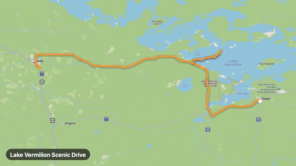
Lake Vermilion Scenic Drive
Shield country lake with 365 islands and boreal forest.
Tower → Cook
- Distance
- 42 mi
- Level
- Easy
- Type
- Scenic
- Season
- June - October
Highlights
- Lake Vermilion
- Tower MN
- Sunset views
Must ride
★ 7.9/ 10
Risks
Fuel stops
Food stops
Ride it with RideCall
Find this route in the app, invite your group and track the ride.
More routes in Minnesota
All routes in Minnesota →Paul Bunyan Scenic Byway
Brainerd lakes region through Minnesota lake country.
31 mi · Easy · Baxter → Crosslake
Bluff Country Scenic Byway
Amish farms and limestone bluffs in southeast Minnesota.
52 mi · Easy · Harmony → Lanesboro
Lake Country Scenic Byway
Otter Tail County's 1,000 lakes region in western Minnesota.
67 mi · Easy · Fergus Falls → Detroit Lakes
North Shore Scenic Drive (US-61)
Lake Superior's dramatic north shore with waterfalls and cliffs.
131 mi · Easy · Duluth → Grand Portage
Great River Road (Minnesota)
Mississippi River bluffs through Minnesota's driftless area.
80 mi · Easy · Lake City → Winona
Gunflint Trail
Remote boreal forest road to the Canadian border wilderness.
58 mi · Medium · Grand Marais → Gunflint Lake