
Missouri, United States
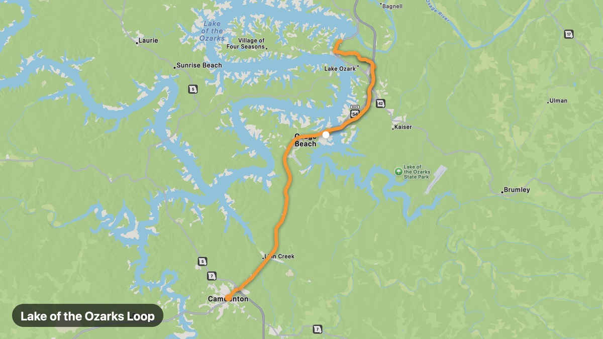
Lake of the Ozarks Loop
Missouri's playground lake with winding shore roads.
Osage Beach → Camdenton
- Distance
- 27 mi
- Level
- Easy
- Type
- Scenic
- Season
- April - November
Highlights
- Bagnell Dam
- Party cove area
- Lake views
Must ride
★ 8.0/ 10
Risks
Fuel stops
Food stops
Ride it with RideCall
Find this route in the app, invite your group and track the ride.
More routes in Missouri
All routes in Missouri →Mark Twain National Forest Loop
Ozark forest roads through Missouri's largest national forest.
118 mi · Medium · Rolla → Salem
Hermann Wine Road
Missouri River wine country and German heritage town.
36 mi · Easy · Washington → Hermann
Elephant Rocks State Park Route
Giant granite boulders and Iron County mining heritage.
18 mi · Easy · Belleview → Ironton
Current River Scenic Route
Spring-fed Current River through Ozark National Scenic Riverways.
112 mi · Easy · Van Buren → Doniphan
Kansas City Loops and Bluffs
Missouri River bluffs and urban-to-rural riding near KC.
35 mi · Easy · Kansas City → Weston
Ozark Highlands Trail Route
Missouri Ozarks spring country and Current River hills.
109 mi · Medium · West Plains → Eminence