
Mississippi, United States
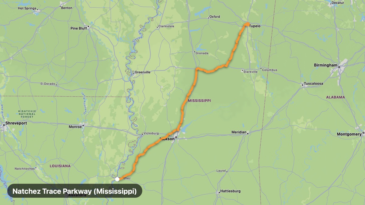
Natchez Trace Parkway (Mississippi)
Historic parkway through Mississippi hardwood forests.
Natchez → Tupelo
- Distance
- 309 mi
- Level
- Easy
- Type
- Scenic
- Season
- March - November
Highlights
- Emerald Mound
- Cypress swamps
- No trucks allowed
Must ride
★ 8.5/ 10
Risks
Fuel stops
Food stops
Ride it with RideCall
Find this route in the app, invite your group and track the ride.
More routes in Mississippi
All routes in Mississippi →Great River Road (Mississippi)
Bluff-top Mississippi River drive through Delta country.
159 mi · Easy · Vicksburg → Clarksdale
Gulf Coast Scenic Drive
White sand beaches and casino coast on US-90.
51 mi · Easy · Bay St. Louis → Pascagoula
Delta Blues Highway (US-61)
Birthplace of the blues through Mississippi Delta cotton country.
64 mi · Easy · Clarksdale → Leland
Piney Woods Scenic Route
Longleaf pine forests and rolling hills of east Mississippi.
88 mi · Easy · Hattiesburg → Meridian
Tishomingo State Park Loop
Sandstone outcroppings and swinging bridge in northeast Mississippi.
49 mi · Medium · Tupelo → Tishomingo
Red Bluff Scenic Route
Little Grand Canyon of Mississippi and Pearl River country.
30 mi · Easy · Foxworth → Columbia