
Montana, United States
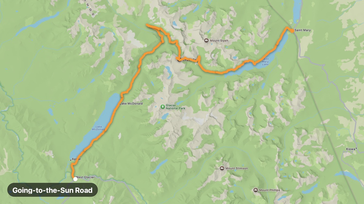
Going-to-the-Sun Road
Glacier National Park's engineering marvel crossing the Continental Divide.
West Glacier → St. Mary
- Distance
- 50 mi
- Level
- Hard
- Type
- Pass
- Season
- June - September
Highlights
- Logan Pass
- Weeping Wall
- Glacier views
Must ride
★ 9.0/ 10
Risks
Fuel stops
Food stops
Ride it with RideCall
Find this route in the app, invite your group and track the ride.
More routes in Montana
All routes in Montana →Beartooth Highway (US-212)
All-American Road with switchbacks above 10,000 feet near Yellowstone.
101 mi · Hard · Red Lodge → Cooke City
Chief Joseph Scenic Byway
Dramatic canyon route named for the Nez Perce flight of 1877.
81 mi · Medium · Cody → Cooke City
Flathead Lake Scenic Loop
Largest natural freshwater lake west of the Mississippi.
54 mi · Easy · Polson → Bigfork
Big Sky US-191 Gallatin Canyon
Gallatin River canyon to Big Sky Resort and Yellowstone west entrance.
95 mi · Medium · Bozeman → West Yellowstone
Bitterroot Valley Scenic
Bitterroot Mountains and Lewis and Clark route through western Montana.
50 mi · Easy · Missoula → Hamilton
Seeley-Swan Scenic Drive
Chain of glacial lakes between Mission and Swan ranges.
67 mi · Easy · Seeley Lake → Swan Lake