
North Carolina, United States
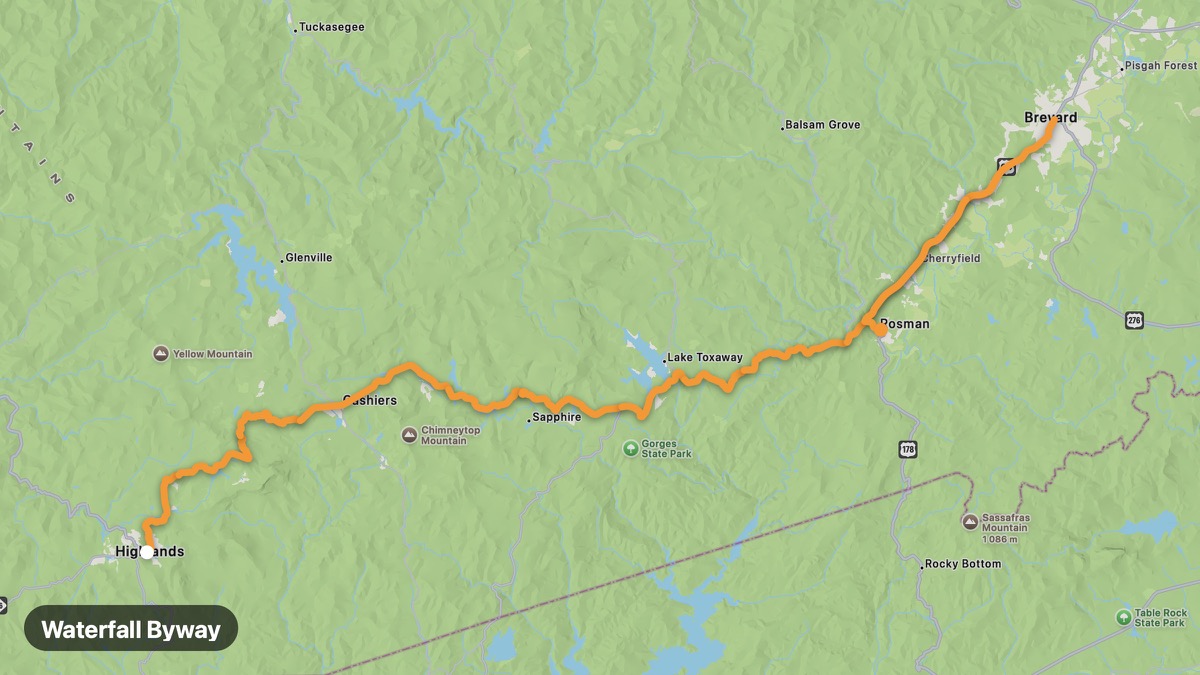
Waterfall Byway
200+ waterfalls in Transylvania County on US-64.
Highlands → Rosman
- Distance
- 48 mi
- Level
- Easy
- Type
- Gorge
- Season
- April - November
Highlights
- Dry Falls
- Bridal Veil Falls
- Sliding Rock
Must ride
★ 7.9/ 10
Risks
Fuel stops
Food stops
Ride it with RideCall
Find this route in the app, invite your group and track the ride.
More routes in North Carolina
All routes in North Carolina →Pisgah National Forest Loop
Cradle of Forestry and Blue Ridge Parkway connections.
40 mi · Medium · Brevard → Waynesville
Great Smoky Mountains (NC)
North Carolina side of America's most visited national park.
17 mi · Medium · Cherokee → Maggie Valley
Diamondback NC Loop
Challenging loop combining 226 and Blue Ridge roads.
26 mi · Hard · Marion → Spruce Pine
Cape Fear Coast
Historic Wilmington to Cape Fear River ferry and Southport.
57 mi · Easy · Wilmington → Southport
Blue Ridge Parkway (North Carolina)
Highest and most dramatic section of the Blue Ridge Parkway.
93 mi · Medium · Asheville → Cherokee
Tail of the Dragon (US-129)
318 curves in 11 miles — America's most famous motorcycle road.
39 mi · Hard · Robbinsville → Deals Gap