
North Dakota, United States
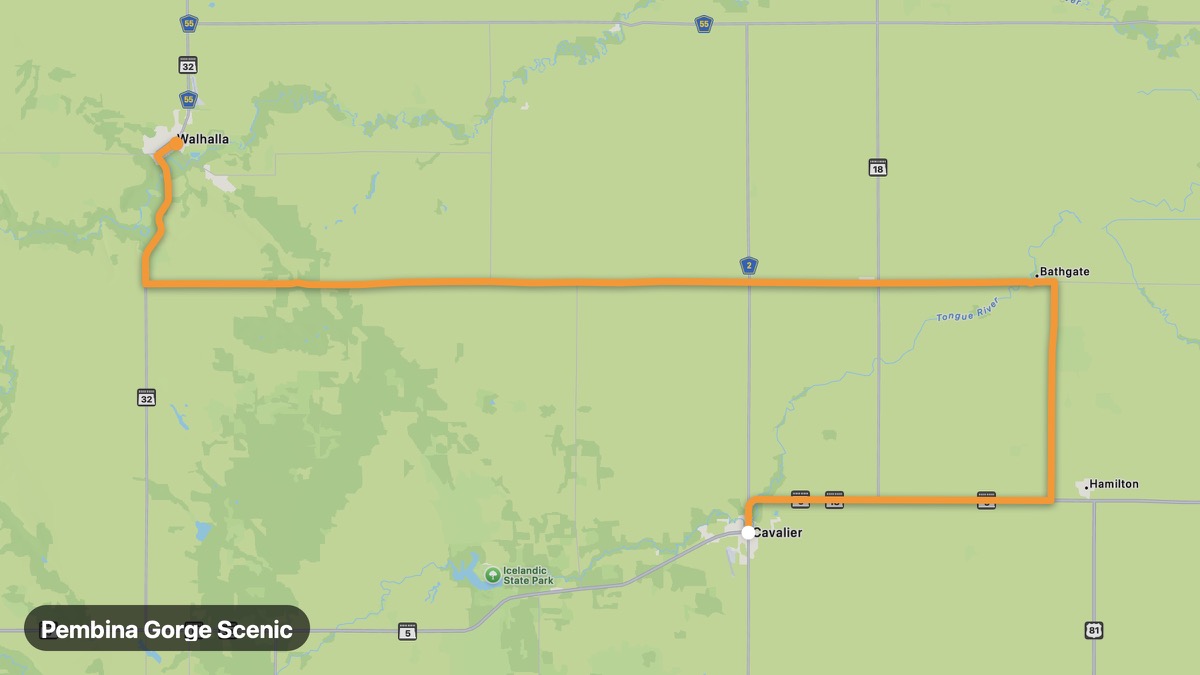
Pembina Gorge Scenic
Deepest gorge in North Dakota with Pembina River.
Cavalier → Walhalla
- Distance
- 49 mi
- Level
- Easy
- Type
- Gorge
- Season
- May - October
Highlights
- Pembina Gorge
- Walhalla ND
- Forest trails
Must ride
★ 8.2/ 10
Risks
Fuel stops
Food stops
Ride it with RideCall
Find this route in the app, invite your group and track the ride.
More routes in North Dakota
All routes in North Dakota →Missouri River Scenic (North Dakota)
Follow the Missouri through Mandan and Fort Berthold.
219 mi · Easy · Bismarck → Williston
Turtle Mountains Scenic
Forested hills and lakes on the Manitoba border.
58 mi · Easy · Rolla → Bottineau
Sheyenne River Valley Scenic Byway
North Dakota's only National Scenic Byway through river valley.
60 mi · Easy · Valley City → Lisbon
Killdeer Mountains Route
Badlands and Killdeer Mountain battle site in western ND.
47 mi · Easy · Dickinson → Killdeer Mountains
Knife River Indian Villages Route
Lewis and Clark and Mandan earth lodge village sites.
75 mi · Easy · Bismarck → Stanton
Fort Ransom to Sheyenne Loop
Quiet Sheyenne River valley loop in southeast North Dakota.
203 mi · Easy · Fort Ransom → Sheyenne