
New Jersey, United States
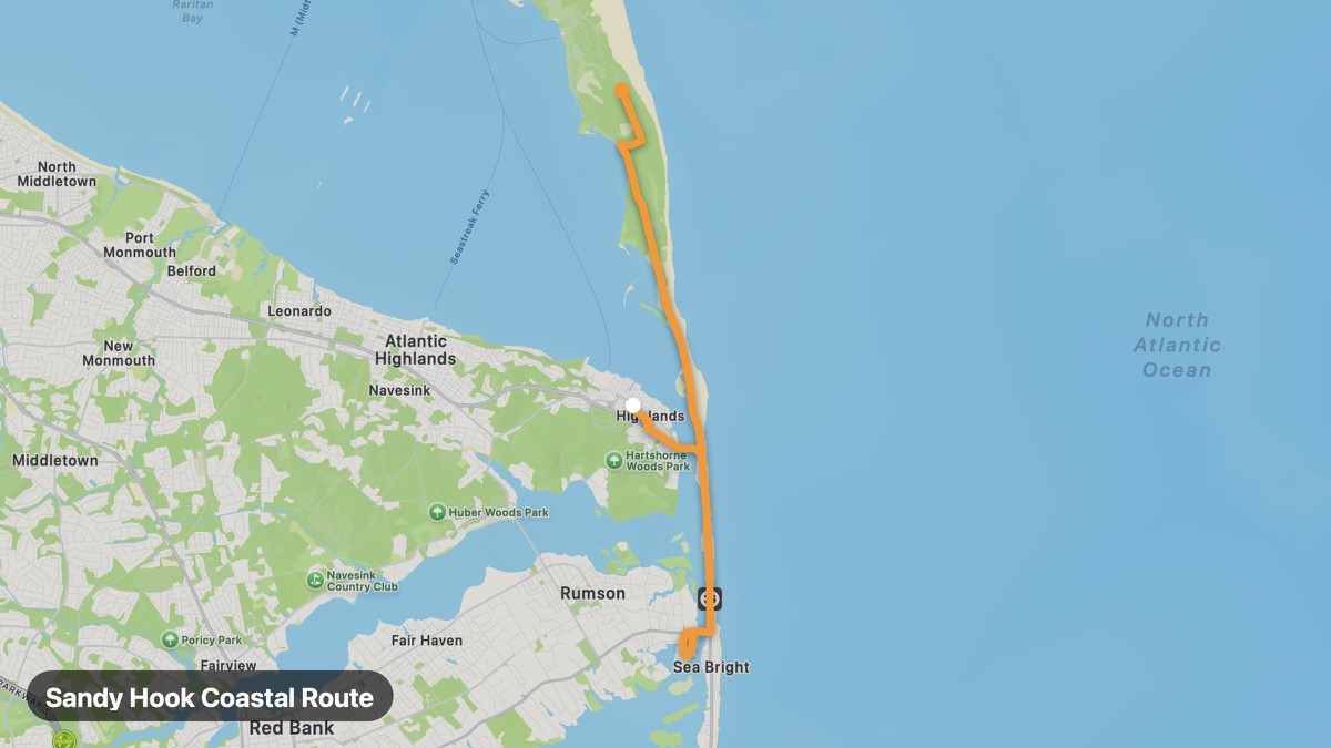
Sandy Hook Coastal Route
Barrier spit with lighthouse and NYC skyline views.
Highlands → Sandy Hook
- Distance
- 12 mi
- Level
- Easy
- Type
- Coastal
- Season
- May - October
Highlights
- Sandy Hook Lighthouse
- Gateway NRA
- NYC skyline
Must ride
★ 7.6/ 10
Risks
Fuel stops
Food stops
Ride it with RideCall
Find this route in the app, invite your group and track the ride.
More routes in New Jersey
All routes in New Jersey →Garden State Parkway North Extension
Northern Jersey parkway through Bergen County suburbs and hills.
21 mi · Easy · Paramus → Montvale
Palisades Interstate Parkway
Cliff-top parkway overlooking the Hudson River and Manhattan.
13 mi · Easy · Fort Lee → Alpine
Delaware Water Gap (New Jersey)
Kittatinny Ridge and Delaware River gap on Old Mine Road.
24 mi · Medium · Columbia → Millbrook
Pine Barrens Scenic Route
Mysterious pine forests and cranberry bogs of the Pinelands.
29 mi · Easy · Hammonton → Tuckerton
Cape May Coastal Route
Victorian seaside resort at New Jersey's southern tip.
40 mi · Easy · Ocean City → Cape May
Skylands Region Loop
Northwest New Jersey highlands and farm country.
24 mi · Easy · Hackettstown → Branchville