
New Mexico, United States
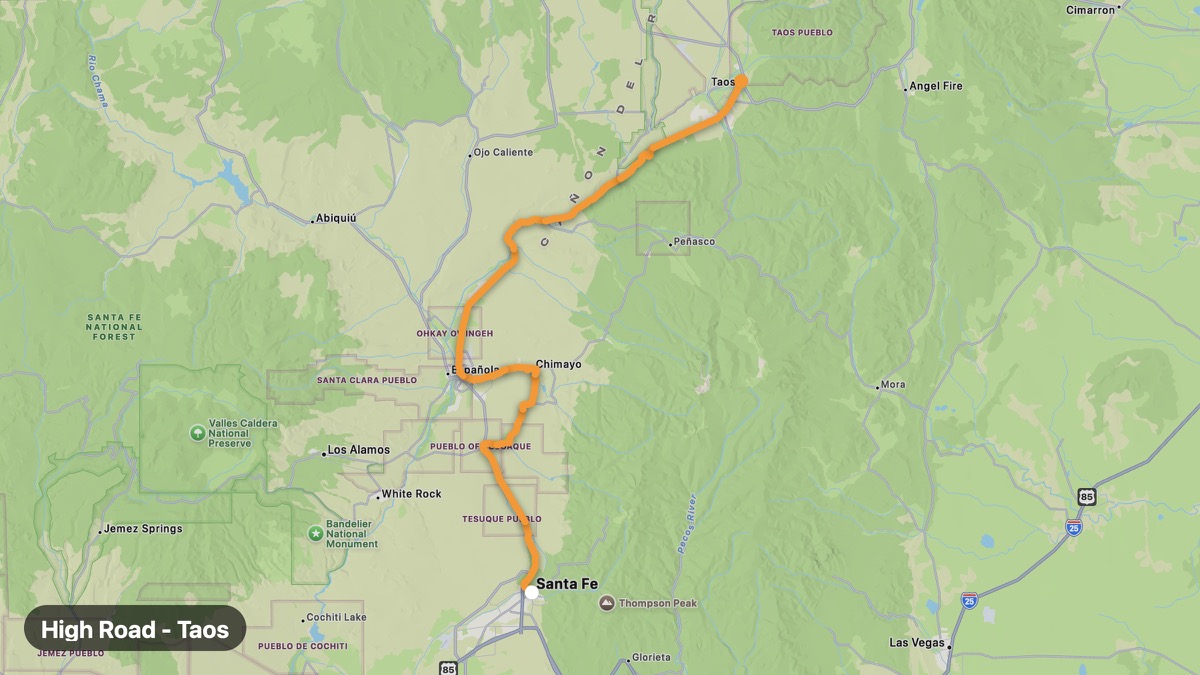
High Road to Taos
Scenic NM-76 and NM-518 through Hispanic highland villages.
Santa Fe → Taos
- Distance
- 81 mi
- Level
- Medium
- Type
- Mountain
- Season
- May - October
Highlights
- Chimayo Sanctuary
- Truchas peaks
- Sangre de Cristo views
Must ride
★ 8.1/ 10
Risks
Fuel stops
Food stops
Ride it with RideCall
Find this route in the app, invite your group and track the ride.
More routes in New Mexico
All routes in New Mexico →Trail of the Mountain Spirits
Gila Wilderness edge with cliff dwellings and hot springs.
84 mi · Medium · Silver City → Mimbres
Billy the Kid Scenic Byway
Lincoln County War country and Billy the Kid history.
171 mi · Easy · Ruidoso → Fort Sumner
White Sands Approach
Gypsum dune field and missile range country in south NM.
69 mi · Easy · Las Cruces → Alamogordo
Chaco Canyon Approach
Remote dirt road to UNESCO Puebloan great house ruins.
73 mi · Medium · Bloomfield → Chaco Culture NHP
El Camino Real International Byway
Historic royal road from Mexico City to Santa Fe.
148 mi · Easy · Las Cruces → Socorro
Santa Fe Trail (New Mexico)
Follow the Santa Fe Trail through northeastern New Mexico.
174 mi · Easy · Raton → Santa Fe