
Oregon, United States
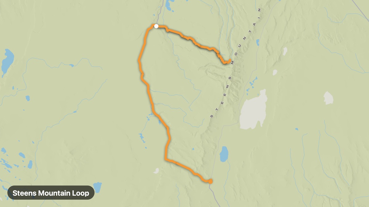
Steens Mountain Loop
Remote fault-block mountain with Alvord Desert views.
Frenchglen → Fields
- Distance
- 97 mi
- Level
- Medium
- Type
- Mountain
- Season
- July - September
Highlights
- Kiger Gorge
- Alvord Desert
- Wild mustangs
Must ride
★ 8.2/ 10
Risks
Fuel stops
Food stops
Ride it with RideCall
Find this route in the app, invite your group and track the ride.
More routes in Oregon
All routes in Oregon →Rogue-Umpqua Scenic Byway
Two Wild and Scenic Rivers through southern Oregon forests.
93 mi · Medium · Roseburg → Diamond Lake
Mount Hood Loop
Circumnavigate Oregon's highest peak through orchards and forest.
63 mi · Medium · Portland → Timberline Lodge
Smith Rock to High Desert
Climbing mecca Smith Rock and central Oregon high desert.
49 mi · Easy · Bend → Madras
Columbia River Gorge Historic Highway
Waterfall corridor along the Columbia with Vista House views.
83 mi · Medium · Troutdale → The Dalles
Oregon Coast Highway 101
Full Oregon coast from Astoria to California border.
338 mi · Medium · Astoria → Brookings
McKenzie Pass-Santiam Pass Scenic Byway
Lava fields and Cascade peaks on OR-242 and OR-126.
44 mi · Medium · Sisters → Belknap Springs