
Rhode Island, United States
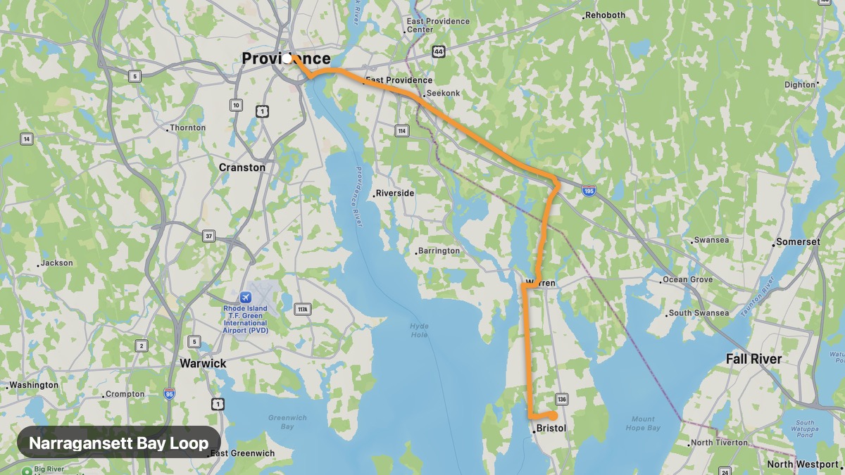
Narragansett Bay Loop
Circumnavigate Narragansett Bay through colonial towns.
Providence → Bristol
- Distance
- 17 mi
- Level
- Easy
- Type
- Coastal
- Season
- May - October
Highlights
- Mount Hope Bridge
- Bristol Fourth of July
- East Bay Bike Path area
Must ride
★ 8.0/ 10
Risks
Fuel stops
Food stops
Ride it with RideCall
Find this route in the app, invite your group and track the ride.
More routes in Rhode Island
All routes in Rhode Island →Arcadia Management Area Route
Largest state recreation area with forest roads and streams.
17 mi · Easy · Exeter → Richmond
Route 138 Coastal Connector
Connect URI campus country to Newport via coastal roads.
20 mi · Easy · Kingston → Newport
Woonasquatucket River Route
Urban river greenway to northwest Rhode Island hills.
16 mi · Easy · Providence → North Smithfield
Prudence Island Approach
Ferry to quiet island in Narragansett Bay.
8 mi · Easy · Bristol → Prudence Island
Ocean Drive Newport
Ten Mile Drive past Gilded Age mansions and Atlantic cliffs.
5 mi · Easy · Newport → Brenton Point
Block Island Ferry Route
Ferry approach and island loop on Rhode Island's offshore gem.
19 mi · Easy · Point Judith → Block Island