
South Dakota, United States
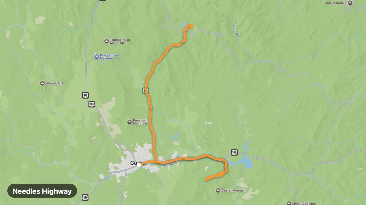
Needles Highway
Granite spires and narrow tunnels in Custer State Park.
Custer → Sylvan Lake
- Distance
- 15 mi
- Level
- Medium
- Type
- Gorge
- Season
- May - October
Highlights
- Needles Eye
- Sylvan Lake
- Iron Mountain Road
Must ride
★ 8.6/ 10
Risks
Fuel stops
Food stops
Ride it with RideCall
Find this route in the app, invite your group and track the ride.
More routes in South Dakota
All routes in South Dakota →Iron Mountain Road
Pigtail bridges and Mount Rushmore framing tunnels.
25 mi · Medium · Keystone → Custer
Badlands Loop Road
Otherworldly eroded buttes in Badlands National Park.
37 mi · Easy · Wall → Interior
Spearfish Canyon Scenic Byway
Limestone canyon walls and waterfalls in the northern Black Hills.
17 mi · Medium · Spearfish → Cheyenne Crossing
Peter Norbeck Scenic Byway
Combines Needles Highway, Iron Mountain Road, and wildlife loop.
32 mi · Medium · Custer → Sylvan Lake
Custer State Park Wildlife Loop
Bison herds and prairie dog towns on the park loop road.
15 mi · Easy · Custer → Blue Bell Lodge
Missouri River Scenic (South Dakota)
Capital city to Lewis and Clark interpretive center.
83 mi · Easy · Pierre → Chamberlain