
Tennessee, United States
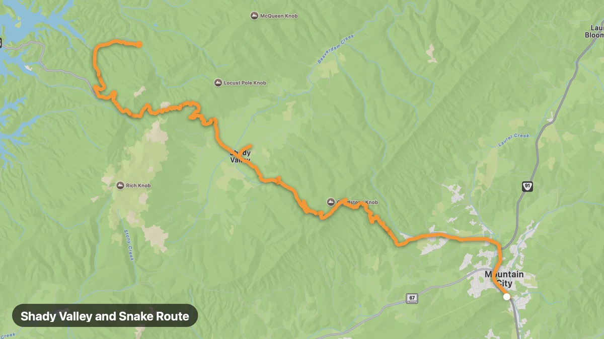
Shady Valley and Snake Route
Northeast Tennessee mountain valleys near NC border.
Mountain City → Backbone Rock
- Distance
- 23 mi
- Level
- Medium
- Type
- Mountain
- Season
- April - November
Highlights
- Rhododendron Gardens
- Snake route curves
- Appalachian culture
Must ride
★ 7.9/ 10
Risks
Fuel stops
Food stops
Ride it with RideCall
Find this route in the app, invite your group and track the ride.
More routes in Tennessee
All routes in Tennessee →Cherokee National Forest Loop
Appalachian Trail country and Roan Mountain rhododendron gardens.
36 mi · Medium · Erwin → Roan High Knob
Music Highway (I-40 Scenic Alternates)
Backroad alternative from Memphis blues to Nashville country.
217 mi · Easy · Memphis → Nashville
Tail of the Dragon (Deals Gap)
318 curves in 11 miles at the TN-NC state line.
39 mi · Hard · Robbinsville → Deals Gap
Cherohala Skyway (Tennessee)
Tennessee side of the Cherohala Skyway through Cherokee NF.
63 mi · Medium · Tellico Plains → Robbinsville
Natchez Trace Parkway (Tennessee)
Northern section of the Natchez Trace through horse country.
27 mi · Easy · Nashville → Garrison Creek
Great Smoky Mountains (Tennessee)
Newfound Gap Road and Cades Cove loop in America's most visited park.
54 mi · Medium · Gatlinburg → Cades Cove