
Texas, United States
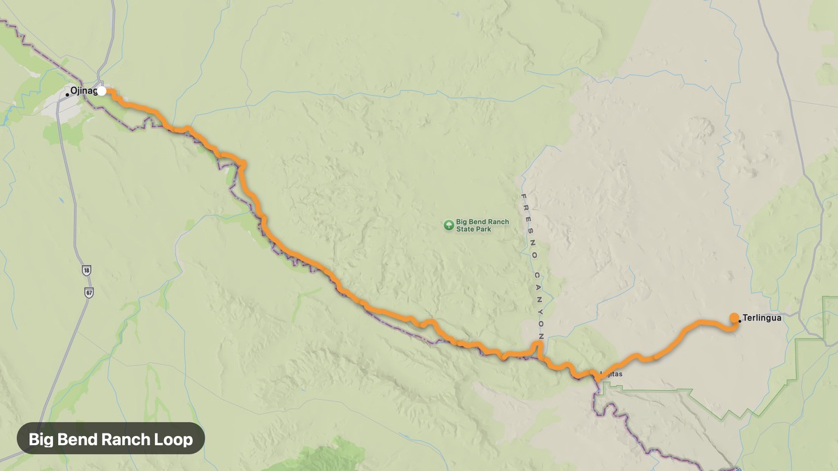
Big Bend Ranch Loop
Chihuahuan Desert mountains and Rio Grande canyons.
Presidio → Terlingua
- Distance
- 65 mi
- Level
- Medium
- Type
- Scenic
- Season
- October - April
Highlights
- Big Bend Ranch SP
- Closed Canyon
- Rio Grande
Must ride
★ 8.3/ 10
Risks
TrafficTouristsPhoto stopsFatigue on long ridesWildlifeSummer heat
Fuel stops
PresidioLajitasTerlingua
Food stops
Lajitas
Ride it with RideCall
Find this route in the app, invite your group and track the ride.
More routes in Texas
All routes in Texas →Palo Duro Canyon Loop
Second largest canyon in the US on the Texas Panhandle.
20 mi · Medium · Canyon → Lighthouse Trailhead
River Road Texas (FM 170)
Big Bend's most scenic road along the Rio Grande.
30 mi · Medium · Presidio → Redford
Davis Mountains Scenic Loop
Sky island mountains and darkest skies in Texas.
28 mi · Medium · Fort Davis → Davis Mountains SP
Guadalupe Mountains Approach
Highest peak in Texas at Guadalupe Mountains NP.
61 mi · Medium · Van Horn → Pine Springs
Caprock Canyons State Park Route
Red rock canyons and Texas State Bison Herd.
25 mi · Easy · Quitaque → Silverton
Lost Maples Scenic Route
Fall color in a rare Texas maple forest.
27 mi · Easy · Vanderpool → Utopia