
Utah, United States
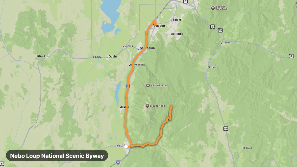
Nebo Loop National Scenic Byway
Mount Nebo and Utah Valley panoramas on paved loop.
Nephi → Payson
- Distance
- 63 mi
- Level
- Medium
- Type
- Mountain
- Season
- June - October
Highlights
- Mount Nebo
- Devil's Kitchen
- Utah Lake views
Must ride
★ 7.8/ 10
Risks
Fuel stops
Food stops
Ride it with RideCall
Find this route in the app, invite your group and track the ride.
More routes in Utah
All routes in Utah →Dinosaur Diamond Prehistoric Highway
Dinosaurs and deep canyons on the Colorado border.
153 mi · Easy · Vernal → Harper Corner
Utah Scenic Byway 12
All-American Road through red rock canyons and high plateaus.
131 mi · Medium · Panguitch → Torrey
Monument Valley Tribal Park Loop
Iconic Navajo Nation buttes on the 17-mile valley drive.
26 mi · Easy · Mexican Hat → Visitor Center
Mirror Lake Scenic Byway
Uinta Mountains highest paved road to 10,687 feet.
26 mi · Medium · Kamas → Bald Mountain Pass
Logan Canyon Scenic Byway
Limestone canyon to turquoise Bear Lake on US-89.
62 mi · Medium · Logan → Bear Lake
Alpine Loop Scenic Backway
High-altitude loop through Wasatch Range mining ghost towns.
27 mi · Medium · American Fork → Sundance