
Washington, United States
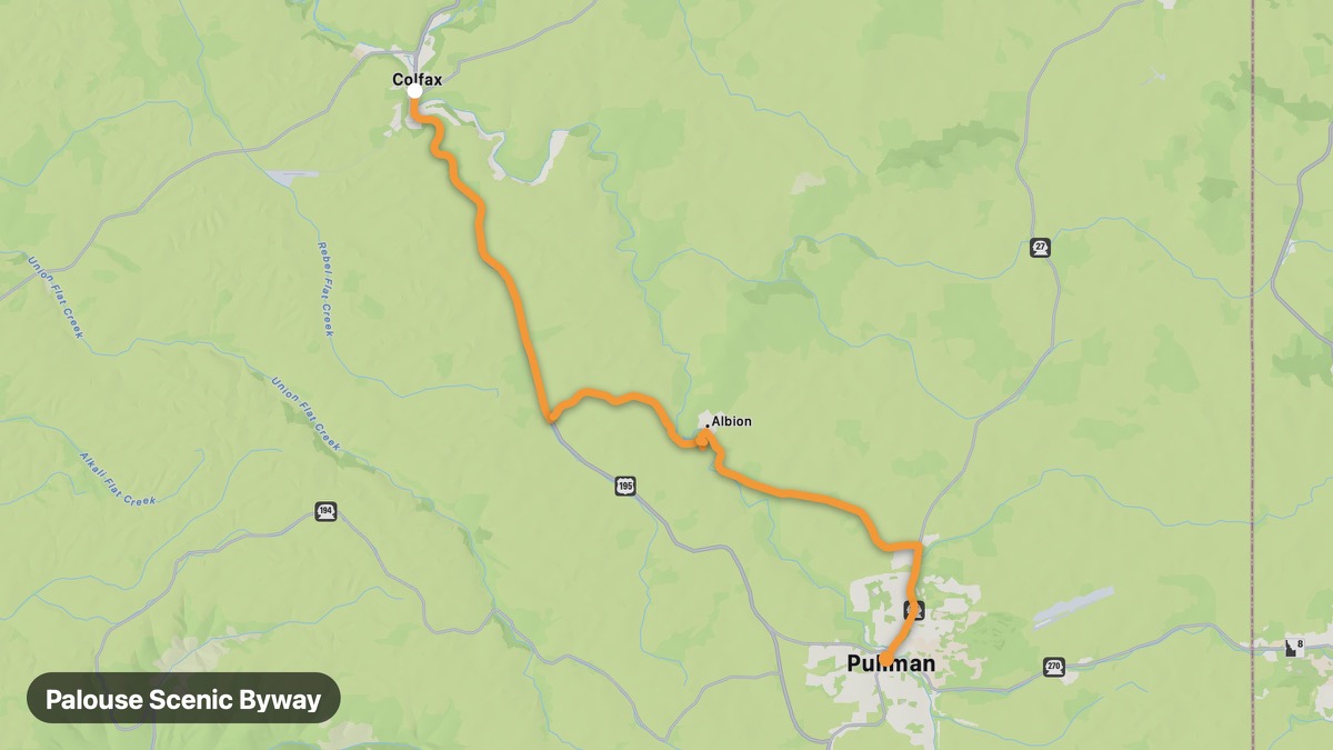
Palouse Scenic Byway
Rolling wheat hills and barn photography country.
Colfax → Pullman
- Distance
- 18 mi
- Level
- Easy
- Type
- Scenic
- Season
- May - October
Highlights
- Steptoe Butte
- Wheat fields
- WSU Pullman
Must ride
★ 7.9/ 10
Risks
TrafficTouristsPhoto stopsWildlifeSummer heat
Fuel stops
ColfaxSteptoe ButtePullman
Food stops
Steptoe Butte
Ride it with RideCall
Find this route in the app, invite your group and track the ride.
More routes in Washington
All routes in Washington →San Juan Islands Approach
Ferry to island paradise with orca whale watching.
25 mi · Easy · Anacortes → Friday Harbor
North Cascades Highway (SR-20)
Most dramatic mountain highway in Washington State.
128 mi · Medium · Sedro-Woolley → Winthrop
Chinook Pass Scenic Byway
Mount Rainier views and Tipsoo Lake at 5,430 feet.
97 mi · Medium · Enumclaw → Naches
Olympic Peninsula Loop
Rainforest, Pacific coast, and Strait of Juan de Fuca.
177 mi · Medium · Port Angeles → Hood Canal
Mount Rainier Loop
Circumnavigate Washington's iconic 14,411-foot volcano.
125 mi · Medium · Enumclaw → Sunrise
Columbia River Gorge (Washington)
Washington side of the Gorge with Maryhill Museum.
117 mi · Medium · Vancouver → Goldendale