
West Virginia, United States
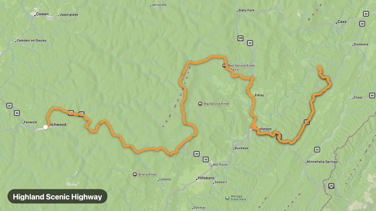
Highland Scenic Highway
Highest elevation road in West Virginia through Monongahela NF.
Richwood → Marlinton
- Distance
- 74 mi
- Level
- Medium
- Type
- Mountain
- Season
- May - October
Highlights
- Summit at 4,500 feet
- Highland Scenic overlook
- Cranberry Glades
Must ride
★ 8.7/ 10
Risks
Fuel stops
Food stops
Ride it with RideCall
Find this route in the app, invite your group and track the ride.
More routes in West Virginia
All routes in West Virginia →Seneca Rocks and Spruce Knob
Iconic rock fin and highest point in West Virginia.
21 mi · Medium · Seneca Rocks → Spruce Knob Summit
New River Gorge Route
New River Gorge Bridge and whitewater rafting capital.
18 mi · Medium · Fayetteville → Hico
Coal Heritage Trail
Southern West Virginia coal mining history and heritage.
84 mi · Easy · Bluefield → Beckley
Monongahela National Forest Loop
Mountain forest roads through the Allegheny Highlands.
75 mi · Medium · Elkins → Durbin
Potomac Highlands Scenic
Headwaters of the Potomac in eastern West Virginia mountains.
61 mi · Medium · Keyser → Seneca Rocks
Midland Trail (US-60)
Historic cross-state route through Greenbrier and Kanawha valleys.
122 mi · Easy · White Sulphur Springs → Charleston