
Idaho, United States
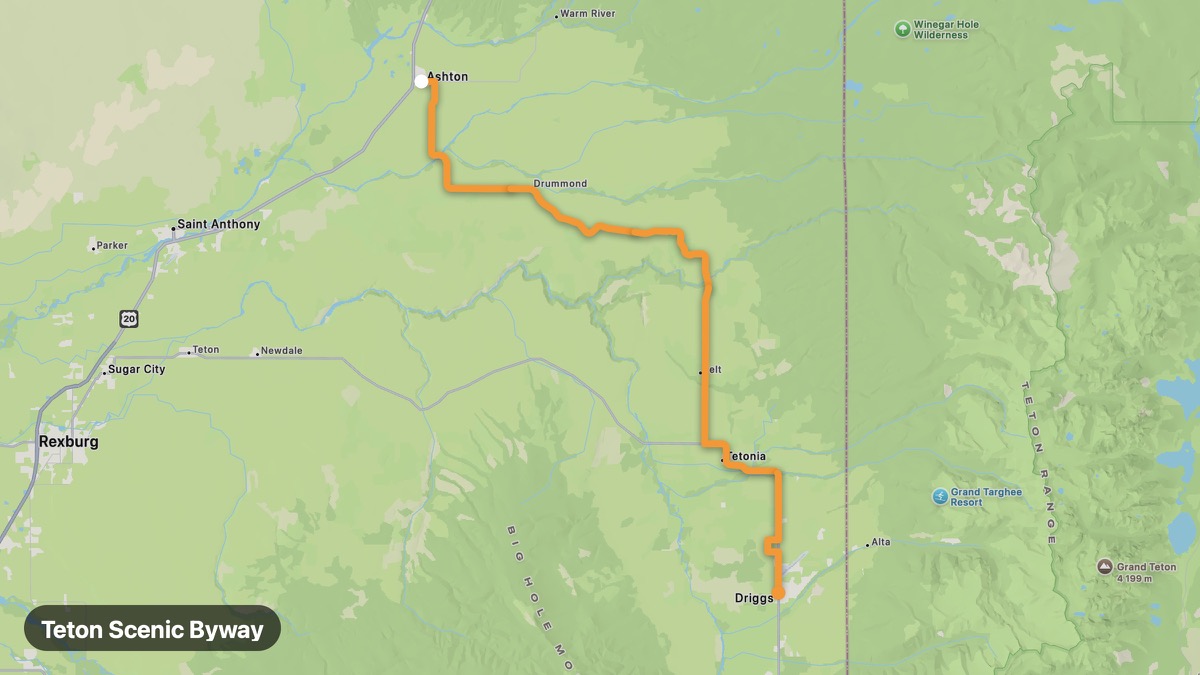
Teton Scenic Byway
Grand Teton views from the Idaho side of the Tetons.
Ashton → Driggs
- Distance
- 40 mi
- Level
- Easy
- Type
- Mountain
- Season
- June - October
Highlights
- Teton Range views
- Teton River
- Driggs basecamp
Must ride
★ 8.3/ 10
Risks
Mountain windWildlifeNarrow sectionsSummer heat
Fuel stops
AshtonDriggs
Food stops
Teton Pass area
Ride it with RideCall
Find this route in the app, invite your group and track the ride.
More routes in Idaho
All routes in Idaho →Snake River Canyon Scenic
Snake River Canyon and Shoshone Falls on the edge of the Snake River Plain.
45 mi · Easy · Twin Falls → Hagerman
Sun Valley Loop
Ketchum and Sun Valley resort country mountain loop.
49 mi · Medium · Hailey → Galena Summit
Payette River Scenic Byway
Follow the Payette River from Boise foothills to mountain lakes.
107 mi · Easy · Boise → McCall
Bear Lake Scenic Byway
Caribbean-blue Bear Lake on the Idaho-Utah border.
51 mi · Easy · Montpelier → Fish Haven
Craters of the Moon Loop
Volcanic lava fields and cinder cones in south-central Idaho.
53 mi · Easy · Arco → Carey
City of Rocks Backcountry Byway
Granite spires and pioneer wagon ruts in south Idaho.
30 mi · Easy · Almo → Oakley