
Mississippi, United States
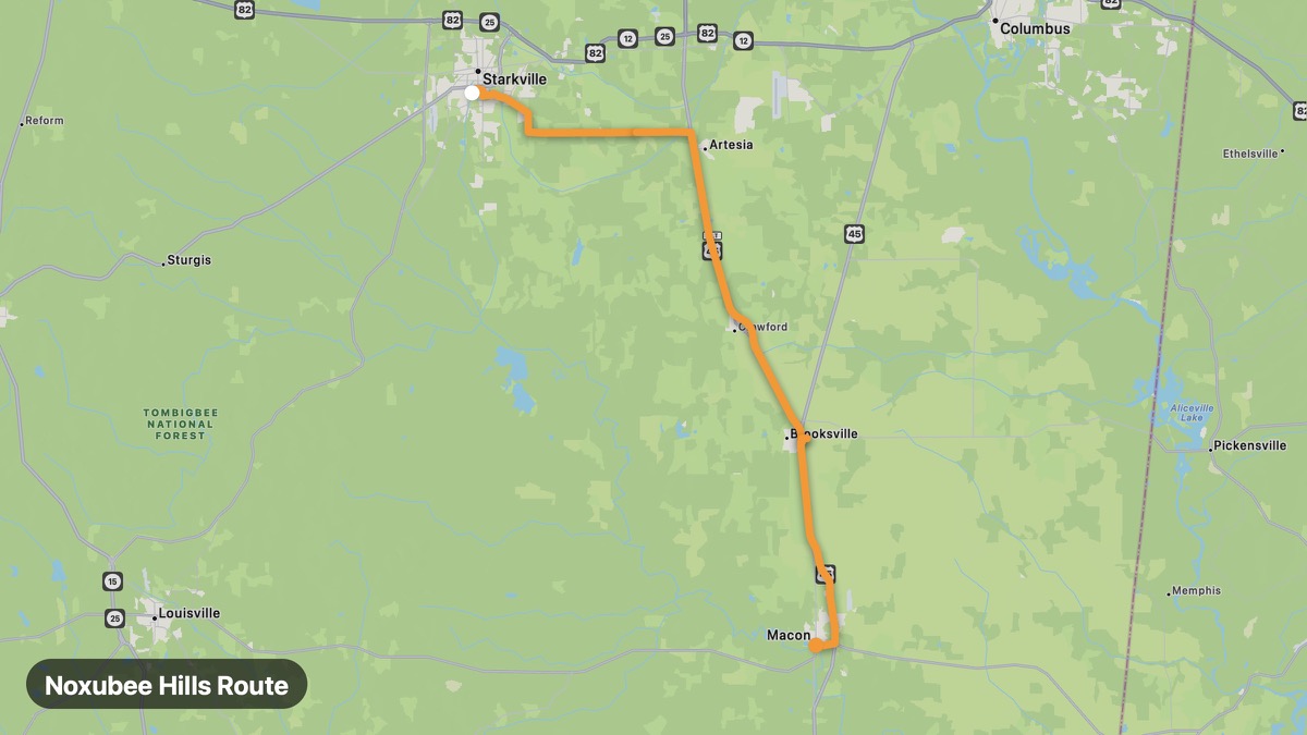
Noxubee Hills Route
Black Prairie hills and Noxubee National Wildlife Refuge.
Starkville → Macon
- Distance
- 40 mi
- Level
- Easy
- Type
- Mountain
- Season
- October - May
Highlights
- Noxubee NWR
- Starkville campus town
- Rolling blackland
Must ride
★ 7.9/ 10
Risks
Mountain windWildlifeNarrow sectionsSummer heat
Fuel stops
StarkvilleBrooksvilleMacon
Food stops
Brooksville
Ride it with RideCall
Find this route in the app, invite your group and track the ride.
More routes in Mississippi
All routes in Mississippi →Vicksburg Campaign Route
Civil War siege route from Jackson to Vicksburg bluffs.
44 mi · Easy · Jackson → Vicksburg
Bienville National Forest Loop
Central Mississippi pine forest backroads and lakes.
50 mi · Easy · Forest → Meridian
Natchez Trace Parkway (Mississippi)
Historic parkway through Mississippi hardwood forests.
309 mi · Easy · Natchez → Tupelo
Great River Road (Mississippi)
Bluff-top Mississippi River drive through Delta country.
159 mi · Easy · Vicksburg → Clarksdale
Gulf Coast Scenic Drive
White sand beaches and casino coast on US-90.
51 mi · Easy · Bay St. Louis → Pascagoula
Delta Blues Highway (US-61)
Birthplace of the blues through Mississippi Delta cotton country.
64 mi · Easy · Clarksdale → Leland