
Montana, United States
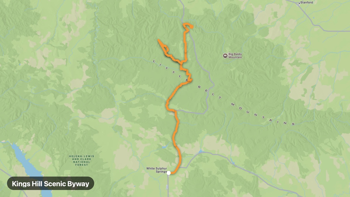
Kings Hill Scenic Byway
Little Belt Mountains crossing on US-89 with ski area views.
White Sulphur Springs → Neihart
- Distance
- 79 mi
- Level
- Medium
- Type
- Mountain
- Season
- June - October
Highlights
- Showdown Ski Area
- Kings Hill Pass
- Smith River valley
Must ride
★ 7.7/ 10
Risks
Fuel stops
Food stops
Ride it with RideCall
Find this route in the app, invite your group and track the ride.
More routes in Montana
All routes in Montana →Missouri Breaks Backcountry Byway
Remote badlands and Missouri River breaks in central Montana.
124 mi · Medium · Winifred → Virgelle
Glacier Park East Side Route
East side of Glacier with Many Glacier and Two Medicine valleys.
106 mi · Medium · Browning → Many Glacier
Going-to-the-Sun Road
Glacier National Park's engineering marvel crossing the Continental Divide.
50 mi · Hard · West Glacier → St. Mary
Beartooth Highway (US-212)
All-American Road with switchbacks above 10,000 feet near Yellowstone.
101 mi · Hard · Red Lodge → Cooke City
Chief Joseph Scenic Byway
Dramatic canyon route named for the Nez Perce flight of 1877.
81 mi · Medium · Cody → Cooke City
Flathead Lake Scenic Loop
Largest natural freshwater lake west of the Mississippi.
54 mi · Easy · Polson → Bigfork