
West Virginia, United States
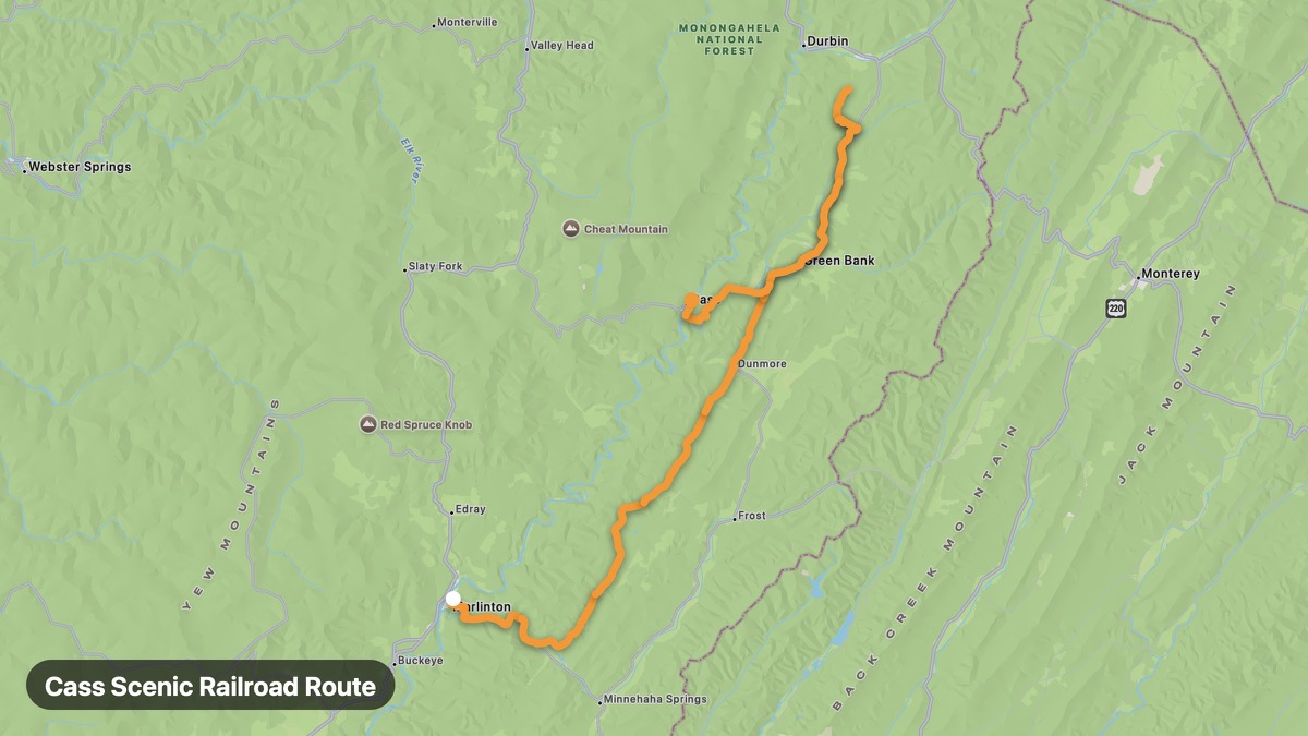
Cass Scenic Railroad Route
Historic logging railroad town in Pocahontas County.
Marlinton → Cass
- Distance
- 51 mi
- Level
- Easy
- Type
- Mountain
- Season
- May - October
Highlights
- Cass Scenic Railroad
- Shavers Fork
- Mountain logging history
Must ride
★ 7.6/ 10
Risks
Fuel stops
Food stops
Ride it with RideCall
Find this route in the app, invite your group and track the ride.
More routes in West Virginia
All routes in West Virginia →Spruce Knob Scenic Drive
Drive to West Virginia's highest point at 4,863 feet.
14 mi · Medium · Riverton → Spruce Knob
Washington Heritage Trail
George Washington's eastern panhandle and historic towns.
45 mi · Easy · Harpers Ferry → Berkeley Springs
Highland Scenic Highway
Highest elevation road in West Virginia through Monongahela NF.
74 mi · Medium · Richwood → Marlinton
Seneca Rocks and Spruce Knob
Iconic rock fin and highest point in West Virginia.
21 mi · Medium · Seneca Rocks → Spruce Knob Summit
New River Gorge Route
New River Gorge Bridge and whitewater rafting capital.
18 mi · Medium · Fayetteville → Hico
Coal Heritage Trail
Southern West Virginia coal mining history and heritage.
84 mi · Easy · Bluefield → Beckley