
Wyoming, United States
Chief Joseph Scenic Byway (Wyoming)
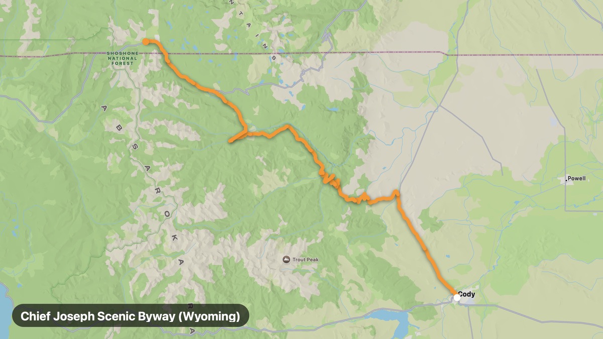
Wyoming section of the dramatic Chief Joseph Byway.
Cody → Cooke City
- Distance
- 81 mi
- Level
- Medium
- Type
- Gorge
- Season
- June - September
Highlights
- Dead Indian Pass
- Clark's Fork Canyon
- Absaroka Range
Must ride
★ 8.1/ 10
Risks
Gravel sectionsTight cornersTrafficFatigue on long ridesWildlifeSummer heat
Fuel stops
CodyDead Indian SummitCooke City
Food stops
Dead Indian Summit
Ride it with RideCall
Find this route in the app, invite your group and track the ride.
More routes in Wyoming
All routes in Wyoming →Beartooth Highway (Wyoming)
Wyoming section of the epic Beartooth All-American Road.
22 mi · Hard · Cooke City → Top of the World Store
Grand Teton Loop
Teton Range reflected in Jenny Lake and Jackson Hole.
38 mi · Medium · Jackson → Moran
Yellowstone South Entrance Route
Connect Grand Teton to Yellowstone's geyser basins.
73 mi · Medium · Grand Teton NP → Old Faithful
Bighorn Canyon Route
Deep canyon reservoir on the Montana border.
136 mi · Easy · Lovell → Fort Smith
Snowy Range Scenic Byway
Cross the Snowy Range at 10,847 feet on WY-130.
136 mi · Medium · Laramie → Medicine Bow
Wind River Canyon Scenic Byway
Sheer canyon walls on US-20 through the Wind River.
73 mi · Medium · Shoshoni → Thermopolis