
Wyoming, United States
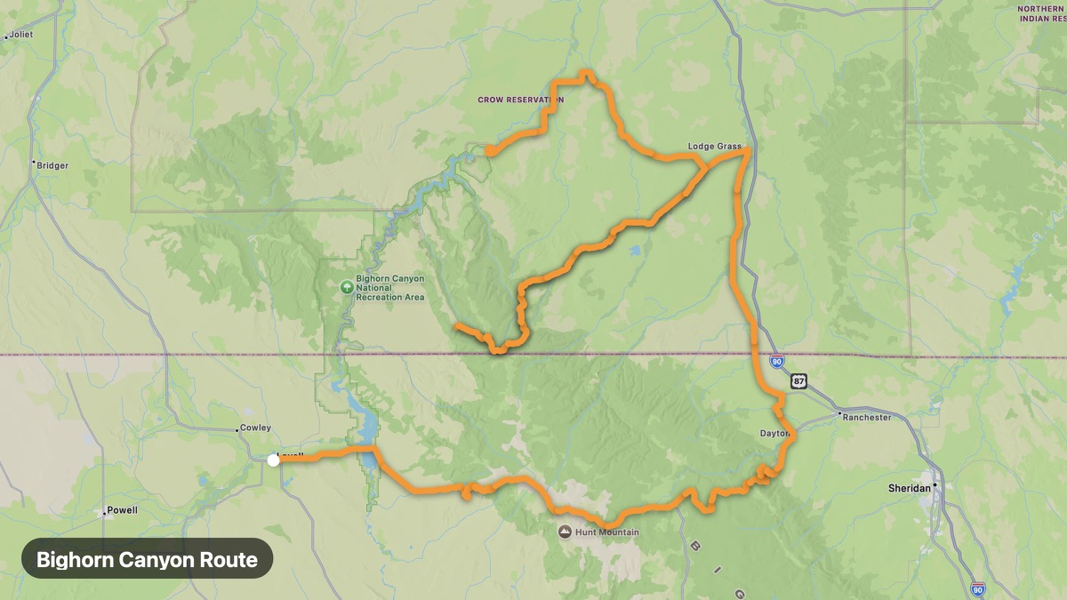
Bighorn Canyon Route
Deep canyon reservoir on the Montana border.
Lovell → Fort Smith
- Distance
- 136 mi
- Level
- Easy
- Type
- Gorge
- Season
- May - October
Highlights
- Devil's Canyon Overlook
- Bighorn Lake
- Wild mustangs
Must ride
★ 8.2/ 10
Risks
Gravel sectionsTight cornersTrafficWildlifeSummer heat
Fuel stops
LovellBighorn CanyonFort Smith
Food stops
Bighorn Canyon
Ride it with RideCall
Find this route in the app, invite your group and track the ride.
More routes in Wyoming
All routes in Wyoming →Snowy Range Scenic Byway
Cross the Snowy Range at 10,847 feet on WY-130.
136 mi · Medium · Laramie → Medicine Bow
Wind River Canyon Scenic Byway
Sheer canyon walls on US-20 through the Wind River.
73 mi · Medium · Shoshoni → Thermopolis
Devils Tower Approach
America's first national monument — iconic volcanic butte.
30 mi · Easy · Sundance → Devils Tower NM
Medicine Bow-Routt National Forest
Sierra Madre and Medicine Bow mountains in south Wyoming.
48 mi · Easy · Saratoga → Battle Pass
Flaming Gorge Scenic Byway
Red canyon walls and massive reservoir on the Utah border.
114 mi · Medium · Green River → Manila
Chief Joseph Scenic Byway (Wyoming)
Wyoming section of the dramatic Chief Joseph Byway.
81 mi · Medium · Cody → Cooke City