
Wyoming, United States
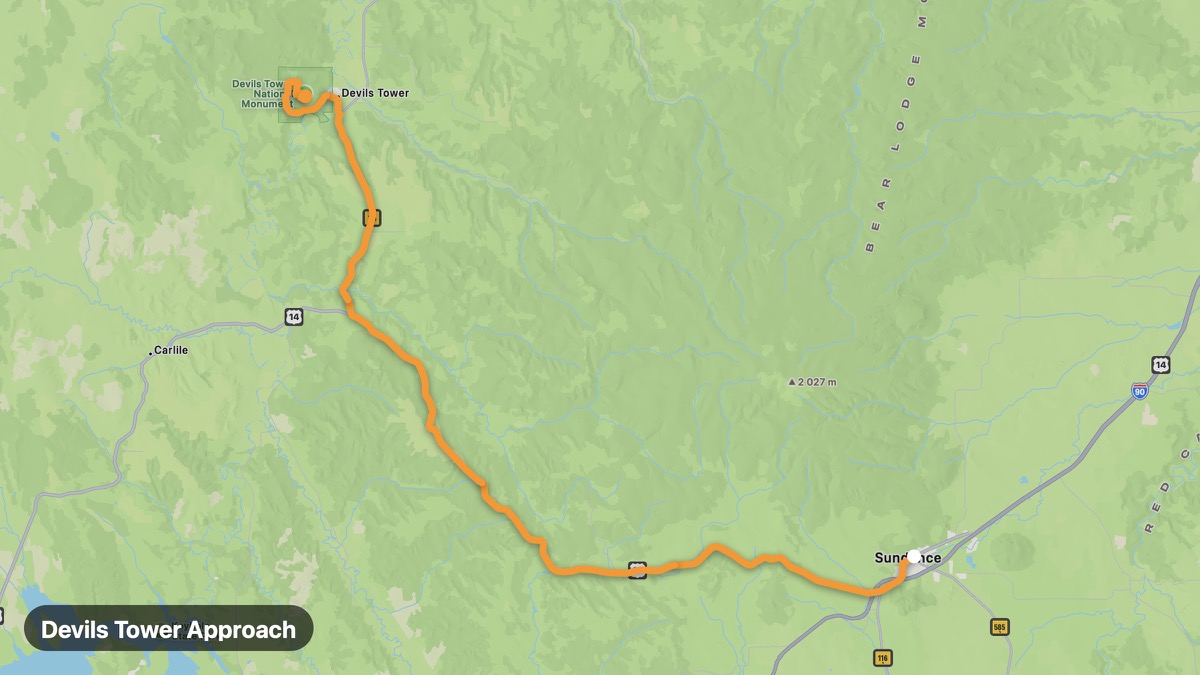
Devils Tower Approach
America's first national monument — iconic volcanic butte.
Sundance → Devils Tower NM
- Distance
- 30 mi
- Level
- Easy
- Type
- Scenic
- Season
- May - October
Highlights
- Devils Tower
- Close Encounters film site
- Belle Fourche River
Must ride
★ 7.7/ 10
Risks
Fuel stops
Food stops
Ride it with RideCall
Find this route in the app, invite your group and track the ride.
More routes in Wyoming
All routes in Wyoming →Medicine Bow-Routt National Forest
Sierra Madre and Medicine Bow mountains in south Wyoming.
48 mi · Easy · Saratoga → Battle Pass
Flaming Gorge Scenic Byway
Red canyon walls and massive reservoir on the Utah border.
114 mi · Medium · Green River → Manila
Chief Joseph Scenic Byway (Wyoming)
Wyoming section of the dramatic Chief Joseph Byway.
81 mi · Medium · Cody → Cooke City
Beartooth Highway (Wyoming)
Wyoming section of the epic Beartooth All-American Road.
22 mi · Hard · Cooke City → Top of the World Store
Grand Teton Loop
Teton Range reflected in Jenny Lake and Jackson Hole.
38 mi · Medium · Jackson → Moran
Yellowstone South Entrance Route
Connect Grand Teton to Yellowstone's geyser basins.
73 mi · Medium · Grand Teton NP → Old Faithful